


6,2 km | 7,8 km-effort

Gebruiker


Gratisgps-wandelapplicatie
 SityTrail
IGN / Geografische instituten
SityTrail World
De wereld gaat voor u open
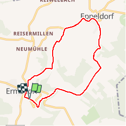
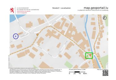
Tocht Stappen van 7,4 km beschikbaar op Onbekend, Canton Diekirch, Vallée de l'Ernz. Deze tocht wordt voorgesteld door GerardBouche.
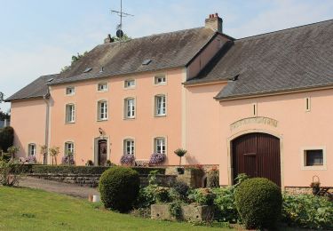
Belle randonnée campagnarde par le très beau village d'Eppeldorf et point de vue sur Ermsdorf. Un parcours balisé E6 avec petit tronçon en sous-bois ... que du bitume ! A chacun son appréciation mais ne mérite pas un classement trois étoiles !
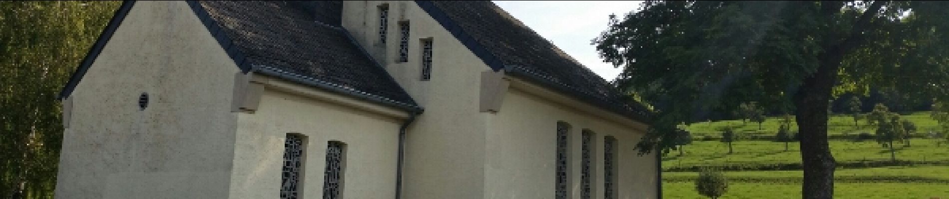
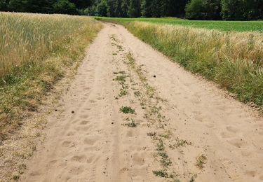
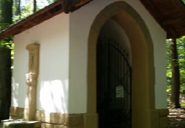
 - Photo 1")
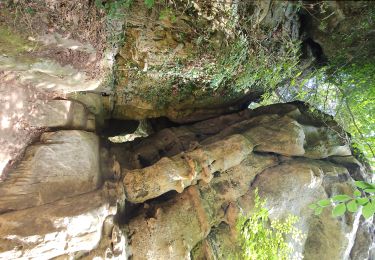
 - Photo 2")
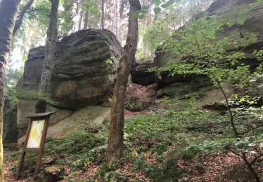
 - Photo 3")
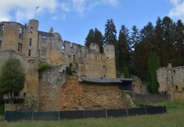
 - Photo 4")
 - Photo 5")
 - Photo 6")
 - Photo 7")
 - Photo 8")

Stappen

Stappen
Stappen
Stappen
Stappen
Stappen
Stappen
Stappen
Te voet